

Geography
At St Augustine's, we hope to inspire our children to have a curiosity and fascination with the world that will stay with them throughout their lives.
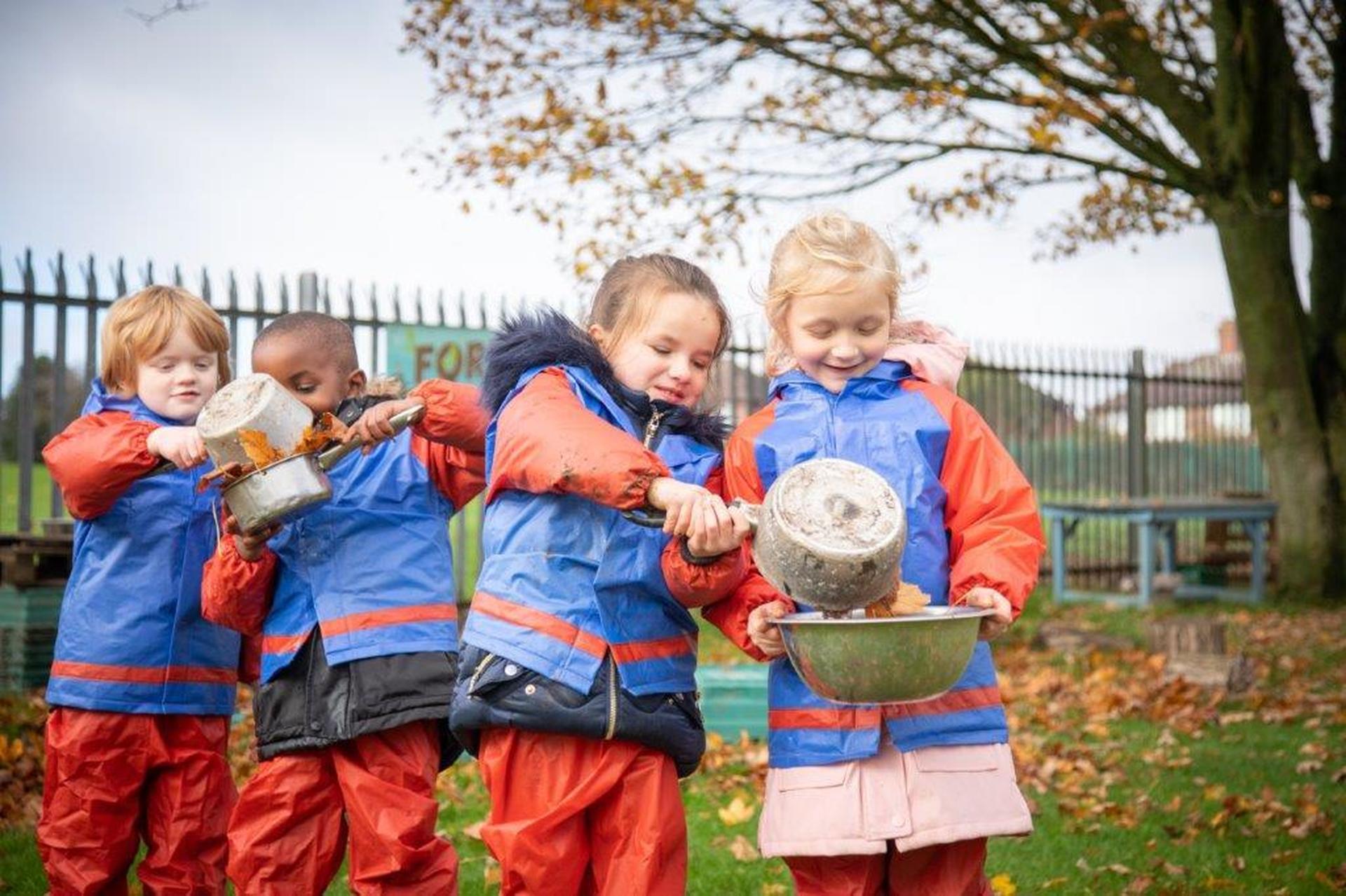
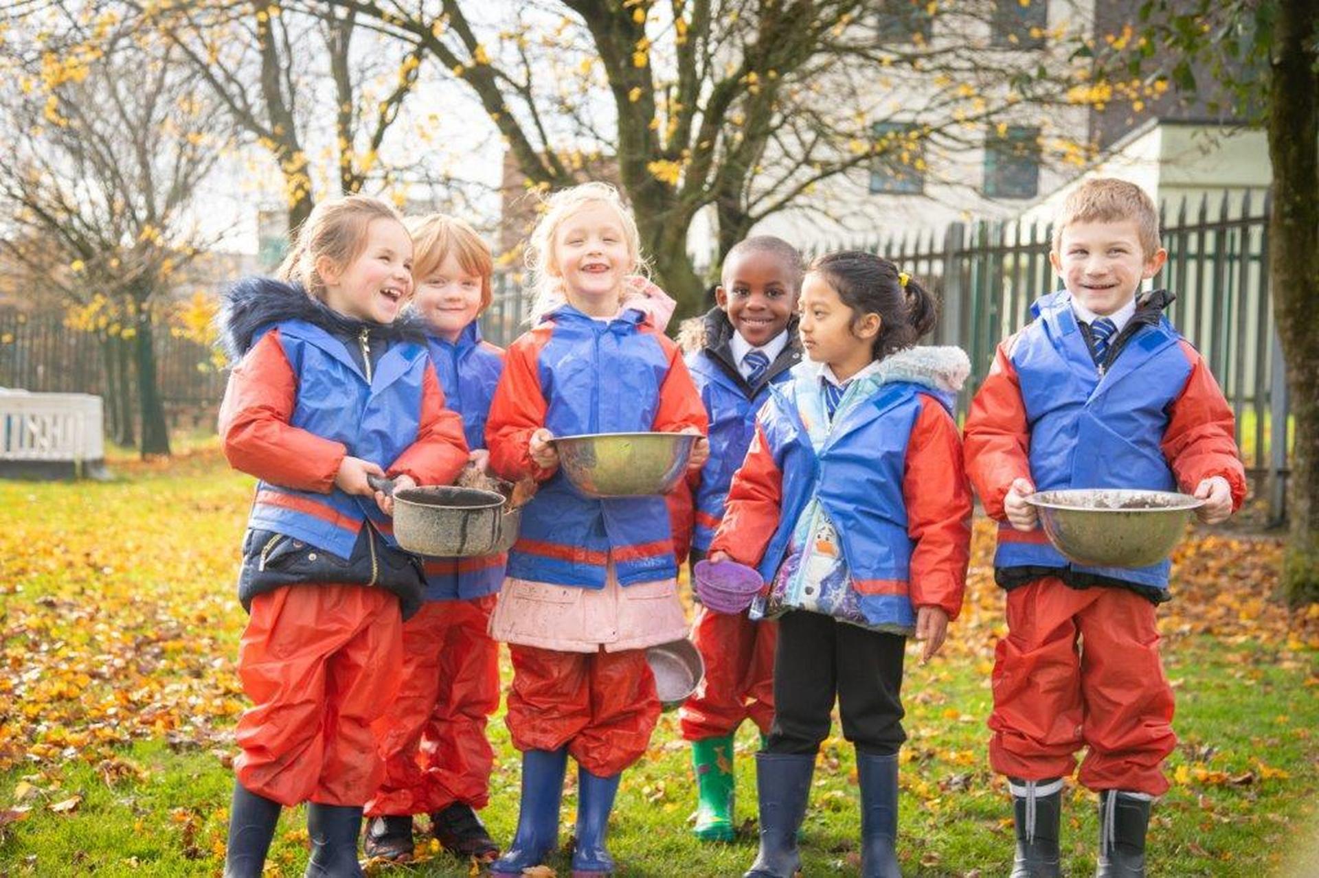
The youngest children will be encouraged to explore the world around them; to experience, to ask questions and to make observations within the school and locality. They will take part in all aspects of life within the school community, and the celebrations that join us to national and worldwide communities . This will enable them to gain a sense of their place in the world.
As the children get older they will develop a greater understanding of how humans interact with and change their environment, and how the Earth’s features are shaped over time.
They will develop their skills in:
- collecting and analysing data
- interpreting and using maps and photographs
- communicating their findings to other people
- fieldwork
They will be encouraged to ask their own geographical questions, and use their skills to collect the evidence needed to answer them.
Projects
At St Augustine's we believe on a hands on forward thinking approach to teaching and learning. We are working to become a more sustainable school. We have launched our first project linked to recycle week. See below the attachment of how you and your child can get involved!


| Name | |
|---|---|
| Geography Letter Y4.pdf | Download |
Geography topics
Please see the attached document which outlines the units that children will study throughout the year.
Support at home
For all of the above topics you can find fantastic maps and aerial photographs on the digimap website.
To access the resources, click on the link and just type in the school's postcode: ST3 7DF
This enables pupils to use ordnance survey maps to focus on the area that they want to view. They can zoom into the map, and see aerial photographs as well as maps from the 1950s and 1890s.
Digimap have set some fantastic home learning activities, please see below for ideas for home learning.
Careers in the curriculum
We want all of our pupils to feel inspired about the future that they could have and the pathways that can lead them there. Harnessing their interest areas and talents, we remain focused on 'Careers in the Curriculum' and continue to reach out to partners and organisations who can support us in our mission to inspire the next generation.
Geography is more than just maps; it opens doors to exciting careers! From working as urban planners, environmental scientists, and travel consultants to becoming geographers who study and solve world problems, students who study geography can make a real impact on the world. They can help plan safer, greener cities, tackle environmental challenges, or even help businesses understand how to grow in new places.
Through hands-on activities, field trips, and projects, we encourage students to explore how geography connects to their lives—and their futures! Whether it's improving sustainability, working with technology like GPS, or learning how different cultures shape the world, the skills students gain in Geography can lead to careers that make a difference.

